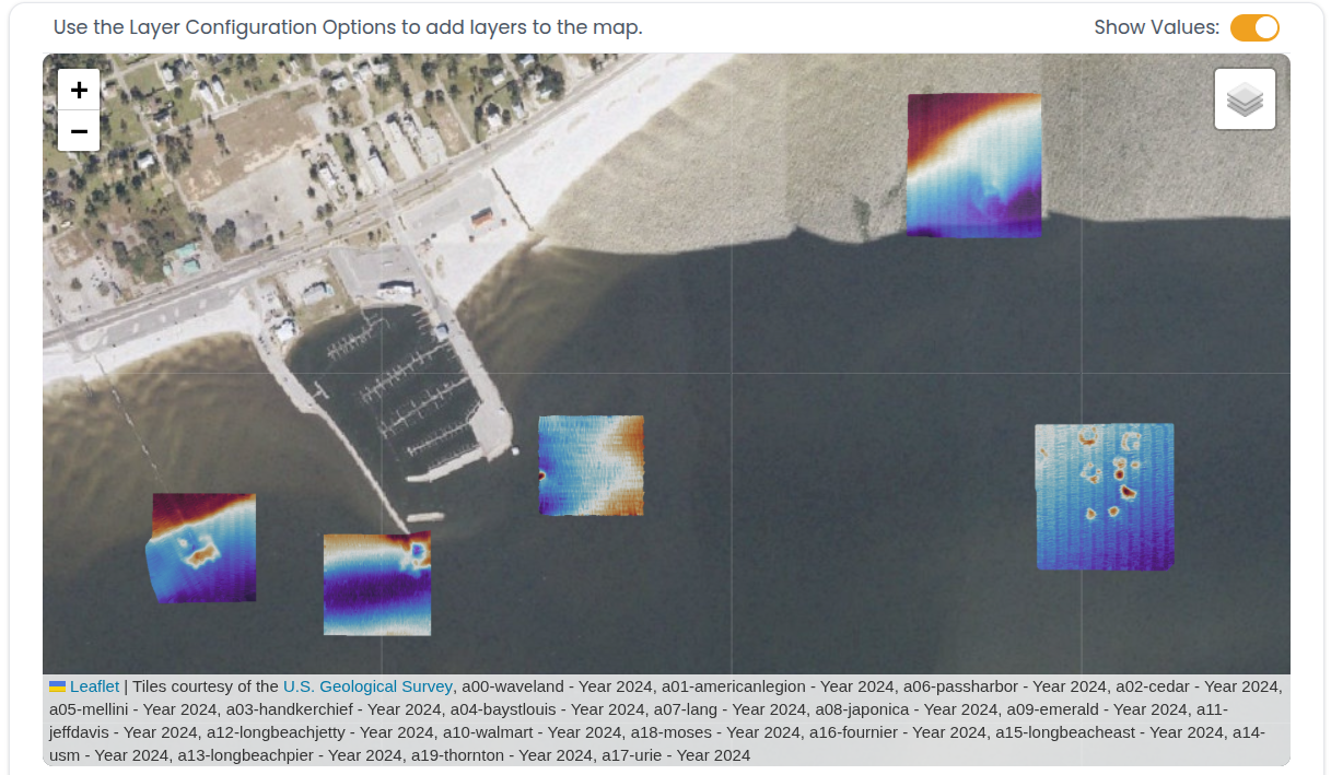
Benthic Mapping

Quantitative Mapping Services for Ecosystem and Asset Observation

Track Quantitative Change over time

With automated solutions for high volume mapping data.

Lidar scan of a buried pipeline in the ground with trees and soil surrounding it.
Aerial map view of a coastal area showing a harbor with boats and a beachfront. Four bathymetric or geological data overlays are positioned over the water, displaying various color-coded patterns indicating different underwater features or data.

Interactive dashboards

Upload your map data to SaltySuite and automate detection of regions of interest.